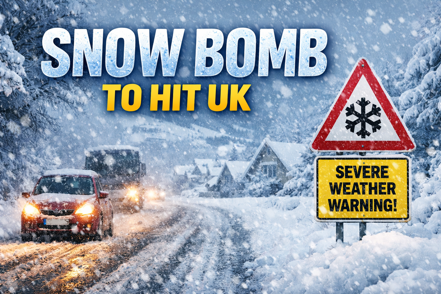
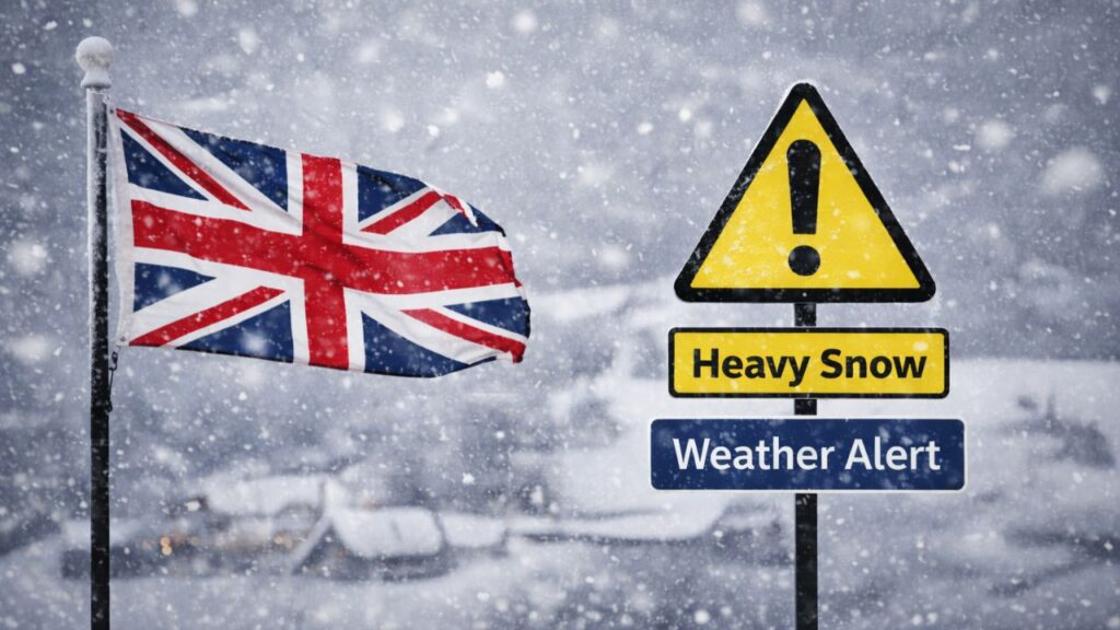
A potential surge of severe winter weather is being closely monitored across the UK, with forecasts suggesting conditions could align for a short but intense period of snowfall, commonly referred to as a “snow bomb.” While the term itself is informal, it is widely used to describe situations where snow develops rapidly and causes disruption within a limited timeframe.
UK winter weather is rarely consistent. Instead of prolonged cold spells, the country often experiences sudden shifts between mild and cold air, increasing the likelihood of abrupt snow events when moisture and low temperatures overlap. It is these sharp transitions that raise concerns about rapid snowfall and travel disruption.
What Is a Snow Bomb?
A snow bomb is a non-technical expression used to describe very heavy snowfall occurring over a short duration. The defining characteristic is intensity rather than longevity. Snow can fall quickly enough to overwhelm roads, rail services, and local infrastructure before preventative measures have time to take effect.
Importantly, a snow bomb is not an official Met Office classification. It is a descriptive phrase used in reporting to highlight potential impact. Understanding this distinction helps explain why forecasts may change and why official warnings rely on measured risk rather than headline terminology.
Why Snow Bomb Forecasts Are Uncertain
Snow forecasting in the UK is particularly complex because temperatures often hover close to freezing. A small variation in air temperature, wind direction, or precipitation intensity can change rain into snow or vice versa.
Snowfall charts sometimes display large accumulation figures because they show modelled potential, not guaranteed outcomes. These projections often assume continuous snowfall and are most realistic in upland or colder locations. As forecasts update and confidence improves, totals are frequently adjusted to better reflect realistic conditions.
Is a Snow Bomb Likely to Affect the UK?
Current outlooks indicate a period where weather systems from the Atlantic may interact with colder air influencing parts of the UK. This type of pattern does not automatically result in snow, but it does create conditions where snow becomes more likely if timing and temperature align.
Rather than confirming a single nationwide event, forecasters focus on increased risk windows. During these periods, outcomes can range from cold rain to sleet or heavy snow, depending on how individual systems track across the country.
When Could Heavy Snow Develop?
Predicting the precise timing of a snow bomb well in advance is not possible. The most reliable snow forecasts typically emerge within a few days of a potential event, once temperature profiles and storm tracks become clearer.
What is currently being assessed is a late-period winter risk, where colder air may become more established. As that window approaches, short-range forecasts will provide clearer guidance, and any official warnings would be issued closer to the time.
Areas Most at Risk from Intense Snowfall
Snow risk across the UK is influenced by elevation, geography, and exposure to colder air. Some regions are more vulnerable than others if conditions turn favourable for snow.
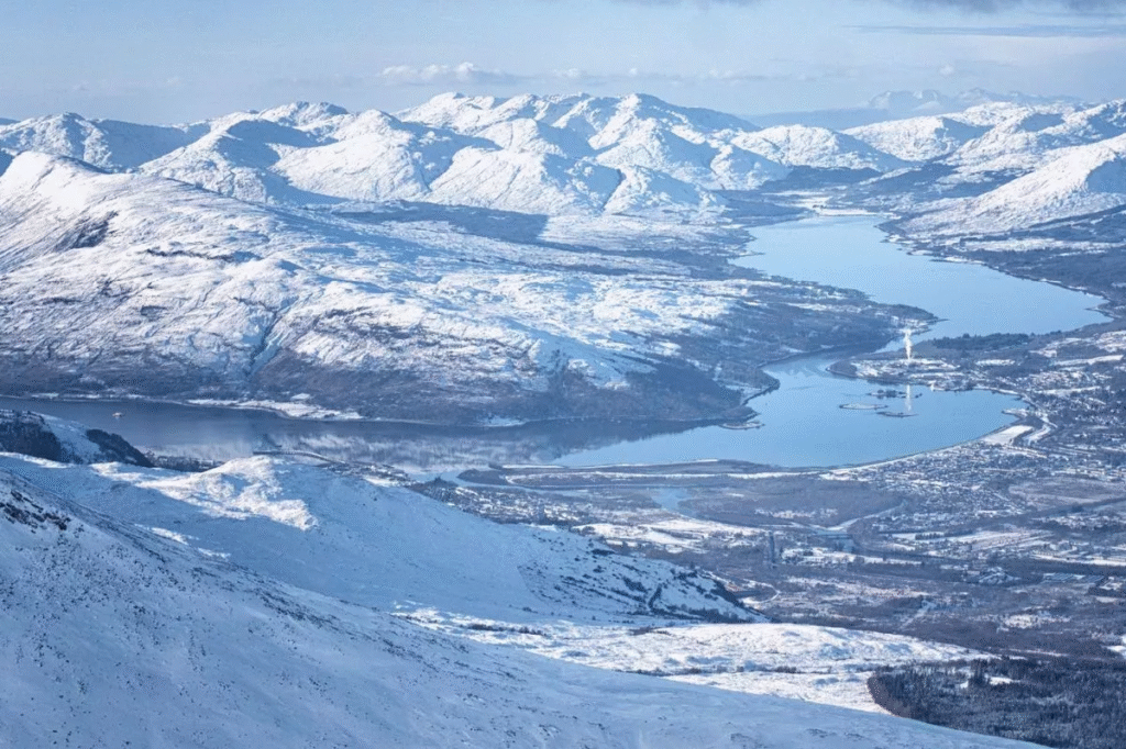
Scotland and Elevated Areas
Scotland often experiences snowfall earlier and more frequently during colder spells. Highland and upland areas are particularly prone to rapid accumulation, which can affect rural access and major transport routes.
Northern England
Regions such as the Pennines, Lake District, and North York Moors face higher snow risk due to elevation. Even moderate snowfall here can disrupt motorway links and rail services.
Wales
Snowfall in Wales tends to impact higher routes first. Mountainous areas can see hazardous driving conditions develop quickly, even if surrounding lowland areas remain marginal.
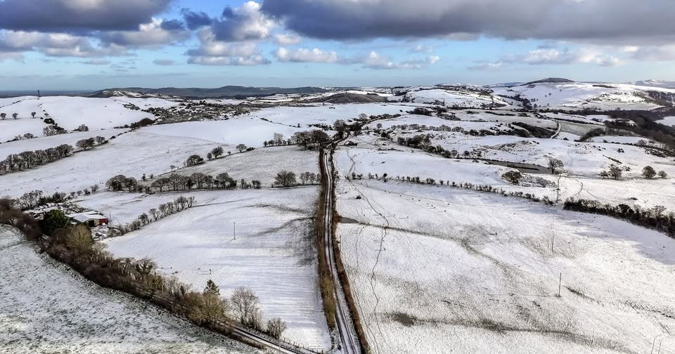
Midlands and Southern England
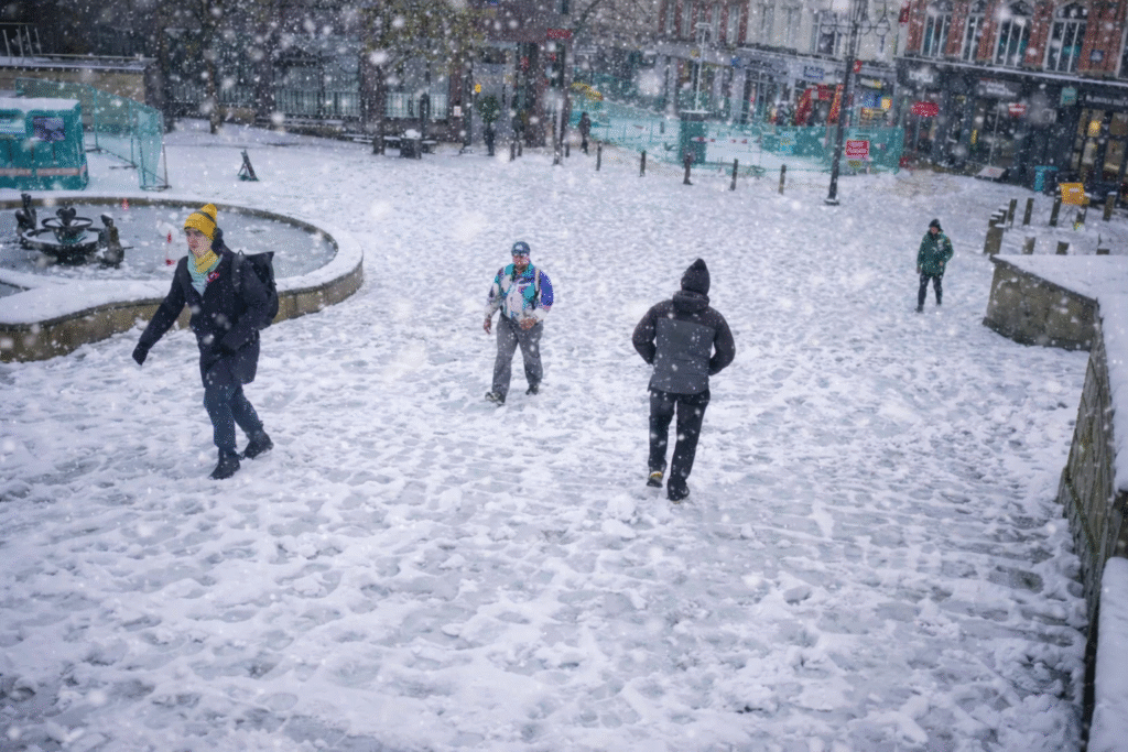
Snowfall in the Midlands and South is less consistent but can cause significant disruption when it does occur. Urban areas, including London, are particularly sensitive to sudden snow during peak travel hours, even when accumulations are relatively small.
Understanding Snowfall Maps and Forecast Models
Snowfall maps are useful tools, but they should be interpreted carefully. They display possible accumulation, not certainty. Higher values usually reflect the most favourable conditions for snow, often over hills or under persistent precipitation bands.
When viewing snow maps:
- Focus on trends rather than single images
- Expect changes as forecasts update
- Remember that lower elevations may see rain or sleet instead of snow
- Use official forecasts alongside model projections
This approach provides a more balanced understanding of real-world risk.
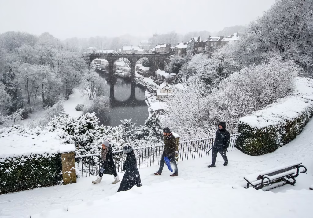
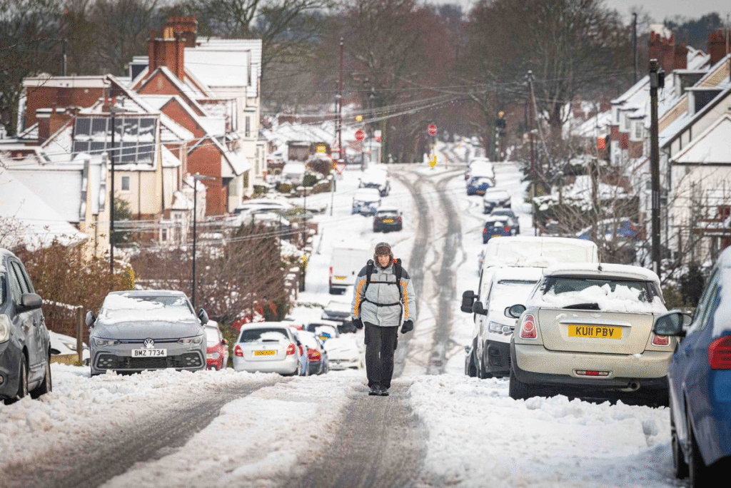
Possible Impacts of a Snow Bomb
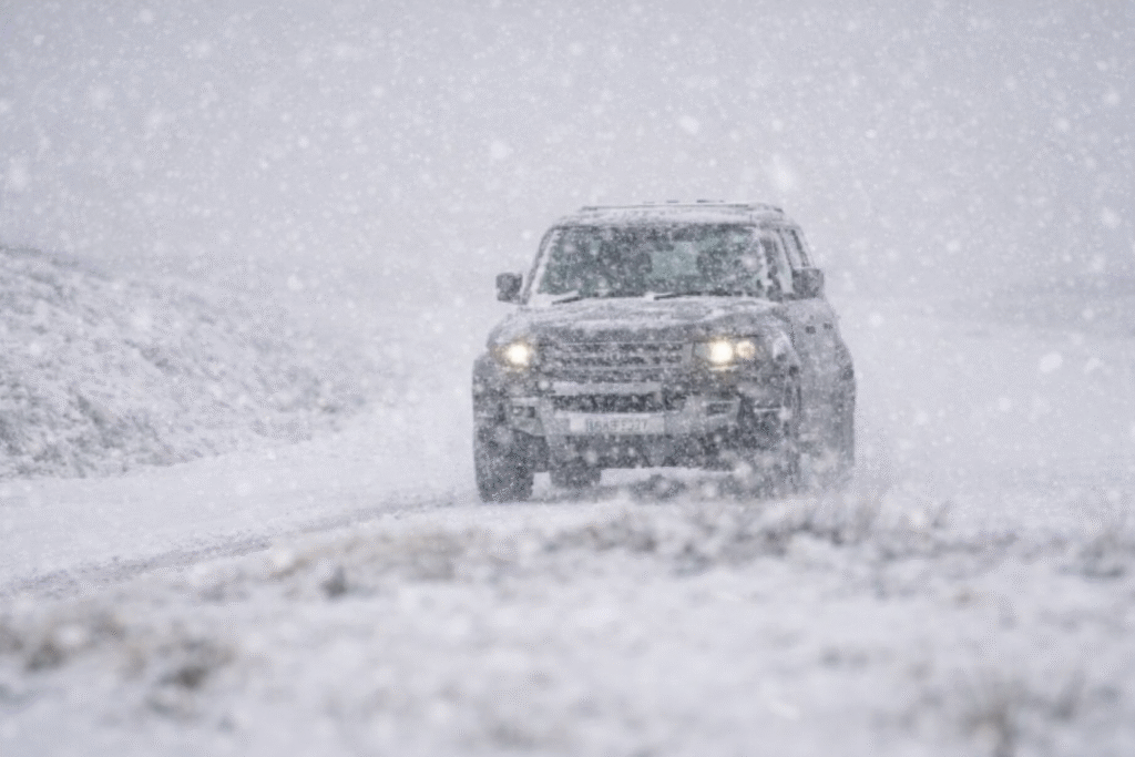
If a snow bomb develops, disruption can escalate rapidly. Roads may become icy or impassable, rail services can be delayed, and visibility may drop during intense snowfall.
Secondary impacts may include:
- Power interruptions in exposed areas
- Delays to healthcare and emergency services
- School and workplace closures
- Supply and delivery disruption
The speed at which these conditions develop is often the biggest challenge.
How to Prepare for Snow Bomb Conditions
Preparation is key during periods of heightened winter risk. Keeping up to date with forecasts allows people to adjust plans before conditions deteriorate.
Practical steps include:
- Checking heating systems and insulating pipes
- Ensuring torches, batteries, and mobile devices are charged
- Stocking essential food and medication
- Avoiding non-essential travel during high-risk periods
Communities that prepare early generally experience fewer difficulties during severe winter weather.
Snow Bomb vs Beast from the East
A snow bomb is often confused with a “Beast from the East,” but the two are different. A Beast from the East describes a prolonged influx of cold easterly air, often bringing sustained low temperatures.
A snow bomb, by contrast, refers to short-lived but intense snowfall, which can occur with or without prolonged cold. This distinction explains why heavy snow can sometimes develop without an extended freeze.
Conclusion
The possibility of a snow bomb highlights how unpredictable UK winter weather can be. While large snowfall figures attract attention, the most important factors remain timing, location, and forecast confidence.
By understanding how snow forecasts work and preparing in advance, individuals and communities can respond more effectively if conditions worsen. Monitoring updates and planning ahead remains the best defence against sudden winter disruption.
FAQs
What is a snow bomb?
An informal term for a short period of very heavy snowfall that develops quickly and causes disruption.
Are snowfall totals guaranteed?
No. Forecast totals represent potential outcomes and often change as conditions evolve.
Which parts of the UK are most at risk?
Higher ground in Scotland, northern England, and Wales typically faces the greatest risk, though disruption can occur anywhere.
When will forecasts become more reliable?
Snow forecasts are most accurate within a few days of an event.
How should people prepare?
Stay informed, plan travel carefully, prepare homes for cold weather, and act early rather than waiting.
You may also read: Timeline and How Conditions May Develop Before Christmas